
Fact Friday 281 - CLT Maps
Happy Friday!

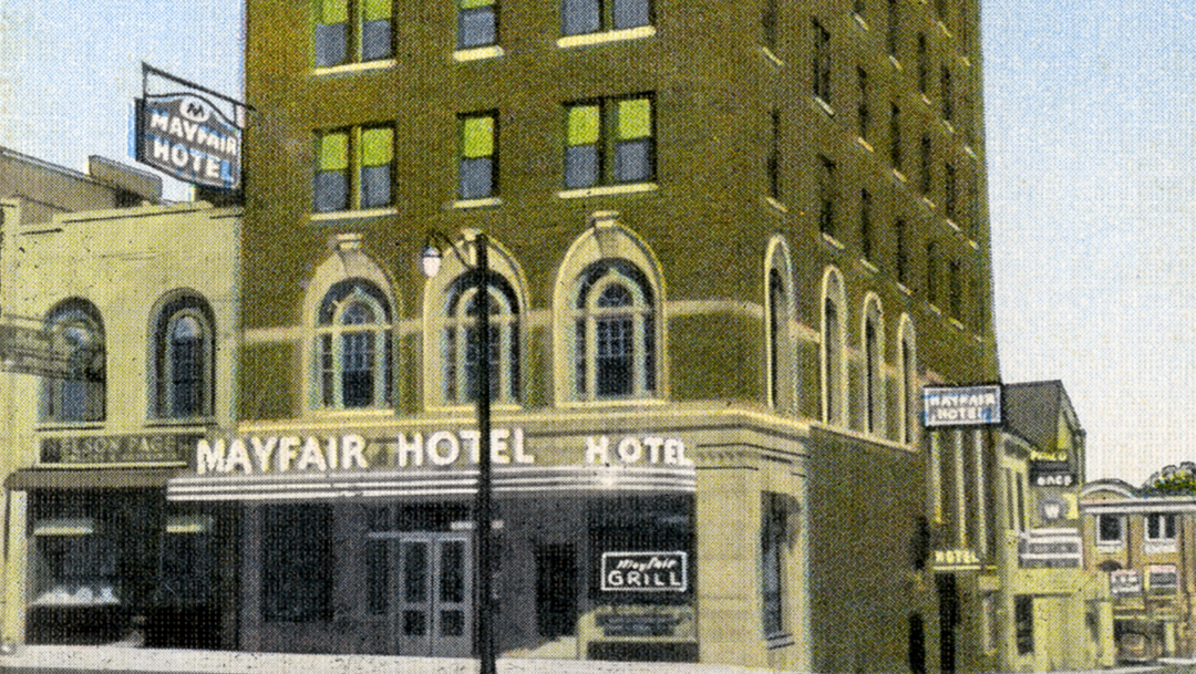
You'll notice from the address at the bottom of the ad, at the time the Charlotte Chamber was located in the building that now houses Ink N' Ivy.

This promotional map comes from The Charlotte Observer in honor of its first daily issue published January 25, 1869. This 1919 image shows Charlotte’s location along the Eastern Seaboard. Unlike the previous map that promoted Charlotte’s industrial strengths, this map is focused on one thing and one thing only:
Location, location, location.
Charlotte’s central location in the South - as shown on this map - as well as its central location along the entire East Coast, continues to be a major asset for the city, and still plays a role in promotional material one hundred years after this map’s publication.
Until next week,
Chris.
Email me at chris@704shop.com if you have interesting Charlotte facts you’d like to share or just to provide feedback!
Information taken from:
UNC Charlotte Special Collections on Instagram | @unccspeccoll
“We have to do with the past only as we can make it useful to the present and the future.” – Frederick Douglass