
Fact Friday 105 - The Business District Transformation Pt. 3
Happy Friday!
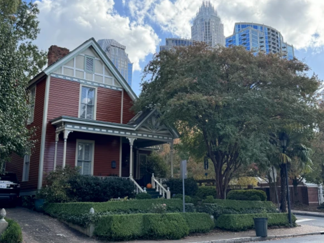
Beyond the central business district, fine houses were still to be found on Trade Street and Tryon Street, and on College and Church streets, which had become fashionable addresses in the 1890s. The suburbs were the choice location for new mansions after the l910s, but many of the established families continued to live in their downtown residences. The major churches reflected this reality by building new, larger sanctuaries in the Center City. Old First Baptist (now Spirit Square), St. Peter's Episcopal, St. Peters Catholic and the now demolished Second Presbyterian Church were all constructed on Tryon Street between 1893 and 1908. First United Methodist and First A. R. P., both erected on North Tryon in the mid 1920s, show how recently that area was a highly desirable place to live.

Back from the business district and the main streets there was still a large amount of Center City residential area. Blocks which had only a house or two in 1882 were filled up by 1929, all the way to the edge of the grid. On some residential streets nearest the Square, small apartment buildings, like the Frederick on North Church Street or the Poplar on West Tenth, replaced old single-family houses.
Around the edges of the grid there were a few new residential streets, filling out what is now thought of as the Center City. These did not usually follow the urban grid but instead followed the more random suburban prototype. There were a few new streets, in addition to Hill and Vance, in Second and Third Wards between First Street and Morehead Street. Development also finally passed Cedar Street, and residences now extended all the way to Irwin Creek, the route of I-77 today. These areas are now thought of as part of the Center City, but they were conceived and advertised as "streetcar suburbs." They were served by the West Trade trolley line and called "Woodlawn" on the Third Ward side of West Trade, and "Irwin Park," on the Fourth Ward side. These new streets extended the Center City to its current boundaries.
Higher education had moved to the suburbs by 1929 in search of cheap land. Wards One through Four did have public schools, though. In First Ward there was First Ward Elementary for white children and Alexander Street Elementary for blacks. Predominantly black Second Ward had black Second Ward High, and the wood-frame Myers Street Elementary school for blacks. Third Ward had a white elementary school on South Church Street. Fourth Ward had white Bethune Elementary at Ninth and Graham and black Fairview at Thirteenth and Graham.
Most hospitals clustered in the Center City at the end of the streetcar era. Charlotte's first hospital had been St. Peters, at the corner of Sixth and Poplar streets in Fourth Ward in the 1870s. It was followed by Good Samaritan (now demolished) for blacks in Third Ward in the 1880s, reputedly the first privately funded black hospital in the United States. By the 1900s, several medical facilities were to be found in the blocks around the Square. These included the 1903 Presbyterian Hospital at the corner of West Trade and Church streets, the 1906 Mercy Hospital's original quarters behind St. Peters Catholic Church, D. A. Tompkins' Charlotte Sanitarium, erected in 1907 at Seventh and Church Streets, and the short-lived North Carolina Medical College at Fifth and Church. In the teens, the hospitals began to follow the trolley lines out to cheap suburban land for their new buildings, led by Mercy in 1916 and Presbyterian in 1918, but Fourth Ward downtown remained the acknowledged "medical center," as evidenced by the construction in the late 1920s of the Professional Building at Seventh and North Tryon, a high-rise housing numerous doctor's offices, as well as a medical library.

The Center City's railroad lines in 1929 still ran much as they had on the 1882 map, with the addition of the new Piedmont and Northern electric interurban tracks in Third Ward. By 1929, however, the land among them was almost all taken by factories and warehouses, indicative of Charlotte's rising importance as a distribution center. Streets crossed the railroad at grade except in two places. A bridge built in the 1890s carried East Morehead over the tracks at the corner of South Boulevard, and an underpass nicknamed the "subway" carried East Trade under the railroad between College and Brevard streets beginning in the 1910s. These two bridges do not seem remarkable today, but in the early twentieth century when dozens of daily trains backed up traffic at other crossings, these bridges were very important. Myers Park planner Earle Sumner Draper credits them as a spur to the suburban development of southeast Charlotte in the late l910s and 1920s, a major factor in that sector's emergence in the period as the city's favorite residential area.
Part 4 next week…
Until next week!
Chris.
Email me at chris@704shop.com if you have interesting Charlotte facts you’d like to share or just to provide feedback!
Information taken from:
The Center City: The Business District and the Original Four Wards; Dr. Thomas W. Hanchett
“We have to do with the past only as we can make it useful to the present and the future.” – Frederick Douglass