
Fact Friday 104 - The Business District Transformation Pt. 2
Happy Friday!
Land use outside the small commercial core in 1882 might be a surprise to present day Charlotteans. Because most people usually walked where they were going, the most desirable residential sites were those closest to the center, requiring the least walking. Charlotte's wealthiest citizens lived immediately adjacent to the village's downtown on Trade and Tryon streets. No direction was more popular than another. The handsome William Johnston mansion, for example, stood on West Trade at Graham. Wealthy landowner W. R. Myers lived on East Trade. The estates of civic leaders J. L. Morehead and Civil War general D. H. Hill faced each other across South Tryon, between Morehead Street and Hill Street. On North Tryon at what is now Phifer Avenue was the grand old Phifer plantation house with its pre-war slave row. Intermixed with the fine houses were the village's half-dozen leading churches, including the predecessors of present-day First Presbyterian, St. Peter's Episcopal, St. Peters Catholic, and First Baptist.

The Phifer House and plantation was located in the 700 block of North Tryon Street. Reportedly, it is the site of the last meeting of the full cabinet of the Confederate States of America. Modern buildings and parking lots have replaced this famous historical site.
Interestingly, in the 1880s the fine houses were found only on the busiest thoroughfares. Side street blocks, even when they were a shorter walk from downtown, were the province of the middle class. Geographers who have studied America's "walking cities" have noted that most follow a concentric ring pattern, with the commercial core surrounded by a ring of wealthy residents, then a ring of middle-class, and finally a ring of poor. Charlotte's wealthy residents did not completely ring the core in accordance with this pattern.
The grouping of grand houses on the busiest streets may be a distinctively southern practice. The pattern may be observed, for example, in nearby Concord, North Carolina, where residential areas remain much as they were in the nineteenth and early twentieth century. Researcher John Kellog has noted the same tendency in Lexington, Kentucky, in the same period. Southerners evidently enjoyed building their mansions where visitors could best notice them.
Beyond the two main streets of nineteenth century Charlotte, the concentric ring theory seems to apply. Back from Trade and Tryon in the four wards were the middle class and finally, toward the edge of the city at the farthest walking distance from the Square, the dwellings of the poor. Buildings on Gray's 1882 map get smaller and smaller as one moves out from the center.
Also close to the edge of the city were non-residential uses that needed inexpensive land: schools, factories, and cemeteries. The Carolina Military Institute was near present-day Morehead and Brevard streets, the Charlotte Female College was at Ninth and College, and the Graded School, the city's early elementary school, was at Tenth and what is now Caldwell. One may note the parallel between the location of the early schools and the site of today's University of North Carolina at Charlotte, incidentally, all at the edge of the city where land is least costly. Other fringe land uses in 1882 included the recently created Elmwood and Pinewood cemeteries, the fledgling Charlotte Cotton Mill, and the prosperous Mecklenburg Iron Works. All were located in the area of West Trade and Graham streets, then the edge of the village.
The streetcar era of development began with the introduction of the horse-drawn streetcar in 1887, but started in earnest when the system was electrified in 1891. Charlotte was growing quickly as a textile and distribution center for the New South. The growth did not follow established patterns, however, but forged new ones as Charlotte changed from a "walking city" to a "streetcar city." A building map by the Sanborn Insurance Company, drawn in 1929 near the end of this second development phase, illustrates how this transformation affected the Center City.
The Center City continued to have many residences, but it was now the commercial and office center for a city of nearly 83,000 citizens. By the 1920s mass transit had turned the old "walking city" ring pattern inside out. Wealthiest citizens were moving out of the Center City to a new ring of "streetcar suburbs" including Myers Park, Elizabeth, Dilworth and Wilmore.
A major effect of this change was a greatly expanded commercial core. The bigger city needed more stores and offices. The 1929 map shows the commercial area extending out to West Trade Street to the Post Office beyond Mint Street, along East Trade Street past Brevard, up North Tryon as far as Eighth, and down South Tryon to Stonewall. Most buildings were three and four story brick structures, but half a dozen skyscrapers jutted above the church spires.

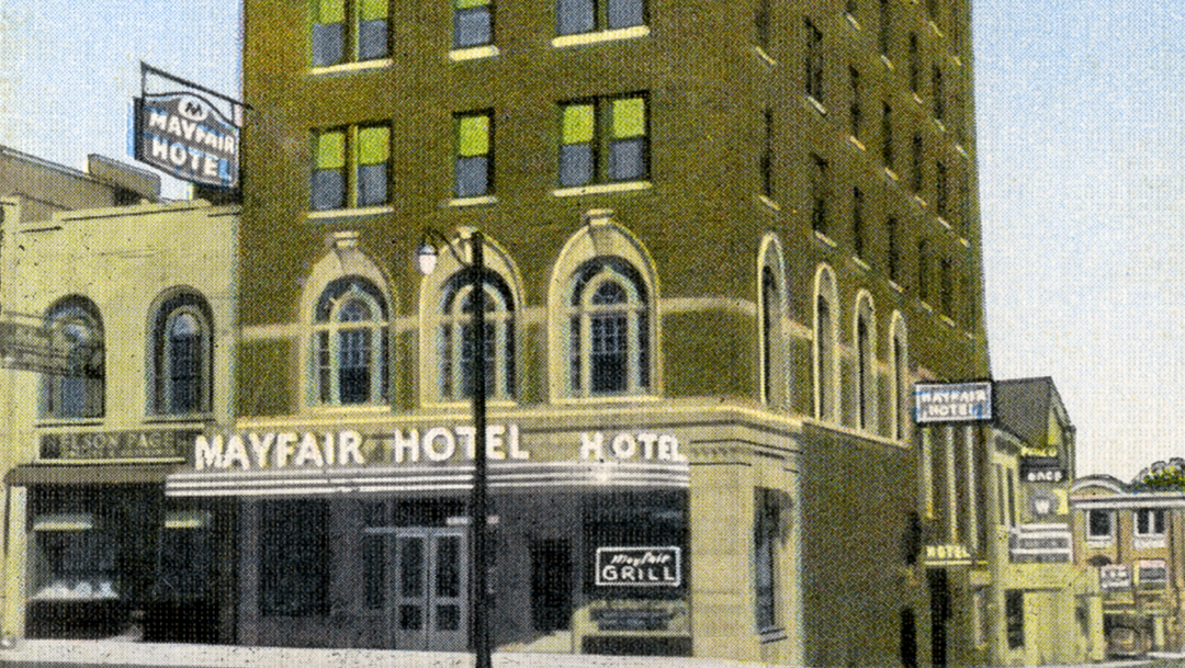
1920s Charlotte
Trade and Tryon were no longer the only commercial streets. Hundreds of small stores lined College and Church streets all the way from First Street to Sixth. Businesses dominated the first blocks of South Poplar, North Brevard, South Mint, First, Second, Third, Fourth, Fifth, Sixth, and Seventh streets as well. One could walk four or more blocks from the Square in any direction and pass nothing but businesses. The Center City was bustling like no time before or since.
Part 3 next week…
Until next week!
Chris.
Email me at chris@704shop.com if you have interesting Charlotte facts you’d like to share or just to provide feedback!
Information taken from:
The Center City: The Business District and the Original Four Wards; Dr. Thomas W. Hanchett
“We have to do with the past only as we can make it useful to the present and the future.” – Frederick Douglass